
Lake Wakatipu hiking: choose a shore and a route
Lake Wakatipu hiking offers quite different outings around Bob's Cove, Glenorchy and Kingston. A marked walk through native bush, a lagoon circuit and an advanced hillside track should be treated as separate choices. Start with the terrain and access that suit the group, then arrange the journey from Queenstown. A lakeside setting alone says little about how steep a track becomes.
Bob's Cove, also called Punatapu, has a marked approach to the water and a short, steep branch towards Picnic Point. Glenorchy Walkway is described as easy to moderate and takes 1 to 2 hours. At Kingston, Shirt Tail Track carries an Advanced classification. These distinctions matter more than trying to fit every shore into the same day.
For the wider setting, read about Glenorchy and its road approach. The transport guide covers arrival and driving, while lake viewpoints helps separate a scenic stop from a walking outing.
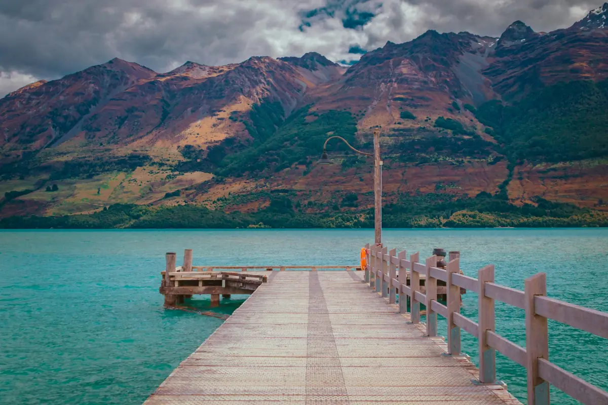
Independent lakeshore walks at Bob's Cove
The Bob's Cove car park is on the Glenorchy-Queenstown Road, 14 km from Queenstown. Follow the marked track through native bush to the shore. The Picnic Point branch adds a short, steep section, so decide whether the viewpoint belongs in the walk before continuing uphill. The route towards Twelve Mile Delta is another direction to consider when looking at the walking map.
Use the designated parking area rather than the roadside, and avoid reversing onto the busy road. Mountain bikes are not permitted on the Picnic Point loop. For a self-guided outing, keep the marked access as the starting point of the plan and check current DOC track information before leaving Queenstown.
Glenorchy excursion
This excursion gives you free time to explore Glenorchy independently.
Hand-picked tours, booked through Viator. Prices are indicative starting prices in US dollars (as of October 2026). Tap a tour for live availability and the current price in your currency.
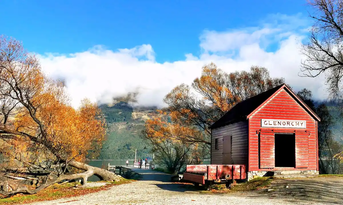
Glenorchy excursion with independent exploring time
Travel from Athol Street with driver-guide commentary and spend free time exploring Glenorchy at your own leisure.
Glenorchy Walkway and the lagoon
Glenorchy lies at the head of the lake and gives access to day walks and longer tracks. For the Glenorchy Walkway, follow signs at the northern end of town from Mull Street and the lakefront. DOC advises against accessing the walkway or parking from Glenorchy-Paradise Road. Keep that distinction in mind when choosing a navigation destination.
Allow 1 to 2 hours for the walkway itself. Heavy or prolonged rain can flood the lagoon section, and dogs must be on a lead. Nature and bird observation can be part of the outing, but sightings depend on the day. Walkway time also needs to sit within the available return transport window.
The excursion shown here starts at Athol Street Bus Stop in central Queenstown. It includes an air-conditioned small-group vehicle, driver-guide commentary, Māori history and mythology through storytelling, and time to explore Glenorchy independently. Choose a walk that fits that free time; the included experience is a scenic excursion with independent exploration.
Kingston and the advanced Shirt Tail Track
DOC places Kingston about 45 minutes by car from Queenstown. Shirt Tail Track starts at Te Kere Haka Reserve and has a stated walking time of 1 to 1.5 hours. Its Advanced classification should guide the decision to attempt it. Above the waterfall the route becomes very steep, unmarked and unmaintained.
Do not treat the upper track as an extension of an easy lakefront stroll. Choose Kingston as its own walking destination, with time for the approach and return, rather than adding it casually to a Glenorchy outing. The Glenorchy excursion's free exploration time belongs in Glenorchy.
Conservation rules beyond the lakefront
Dogs and other pets are prohibited in Mount Aspiring National Park, including Sylvan Campsite and Routeburn Shelter. That differs from the lead requirement on Glenorchy Walkway. Drones require permission on public conservation land. Keep the access rules for the actual destination alongside the route plan.
Questions about walking around the lake
How long does Glenorchy Walkway take?
Allow 1 to 2 hours, with access from the northern town end via Mull Street and the lakefront. Heavy rain can flood the lagoon section.
Is Picnic Point a level shore walk?
The branch to Picnic Point is short and steep. The marked approach through native bush and the viewpoint climb should be considered separately.
Does the excursion include a guided hike?
It includes driver-guide commentary during the journey and free time to explore Glenorchy independently. Plan the walking part around that free time.
Is Shirt Tail suitable for a casual stroll?
It is classified Advanced. Above the waterfall it is very steep, unmarked and unmaintained, so assess the route accordingly.